Presented by Drew N. Fowler - Email: drew.fowler@wisconsin.gov
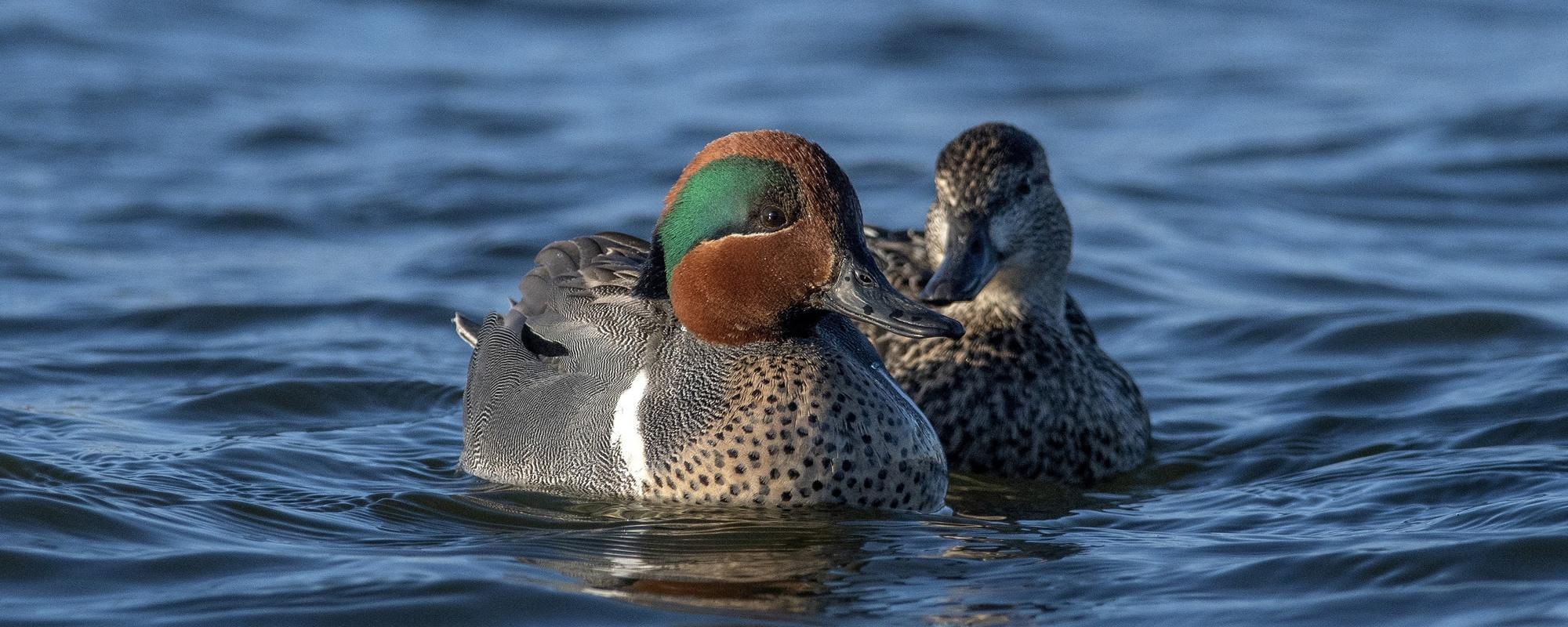
The advancement of unmanned aerial vehicle (drone) technology has facilitated a new field of drone ecology and offers expanding applications in waterfowl breeding ecology and research. Estimates of nest success and brood counts are important measures of waterfowl productivity and have historically relied on in-person detection and monitoring. In these cases, nest and brood detection probabilities can be highly influenced by species specific habitat associations that may impair detection by dense vegetative cover or difficult to traverse topography. In the summer of 2019, we evaluated the potential for drone detection and reconnaissance of over water nesting Ring-necked duck (Aythya collaris) nests and their broods using a drone equipped with high resolution visual and thermal sensors in floating bog wetlands in northern Wisconsin. We assessed the ability to detect known nests given presence and absence of hens under variable altitudes and sensor settings of the DJI XT2 Zenmuse FLIR radiometric thermal sensor. Further, we conducted repeated paired brood surveys between visual observers alongside wetland edges and in canoes and drone flights to compare brood counts at locations where traditional roadside brood surveys are largely prohibitive. Drone flights using the radiometric thermal sensor detected known nests (n = 6) and additionally identified previously unknown nests of ring-necked ducks, trumpeter swans (Cygnus buccinator), and Canada geese (Branta canadensis). Preliminary results from drone brood surveys suggest that brood detection is possible but is influenced by environmental conditions such as heat reflectance from floating leaf vegetation. In this pilot study, we demonstrate applications of drone technology to assist in breeding waterfowl ecology research in remote landscapes where visual observation can be constrained. Future work could utilize an occupancy modeling framework using drone flights to relate waterfowl productivity with habitat characteristics and management regimes.P.2-15: Using thermal imagery for waterfowl breeding ecology research in floating bog wetlands of northern Wisconsin
Jessica A. Jaworski, Wisconsin Department of Natural Resources, Office of Applied Sciences, Rhinelander, WI 54501, USA
Megan E. Brown, University of Wisconsin Stevens Point, College of Natural Resources, Sevens Point, WI, 54481, USA
Taylor Finger, Wisconsin Department of Natural Resources, Bureau of Wildlife Management, Madison, WI 53703, USA
Drew N. Fowler, Wisconsin Department of Natural Resources, Office of Applied Sciences, Madison, WI 53716, USA