
Presented by Luke Fara - Email: lfara@usgs.gov
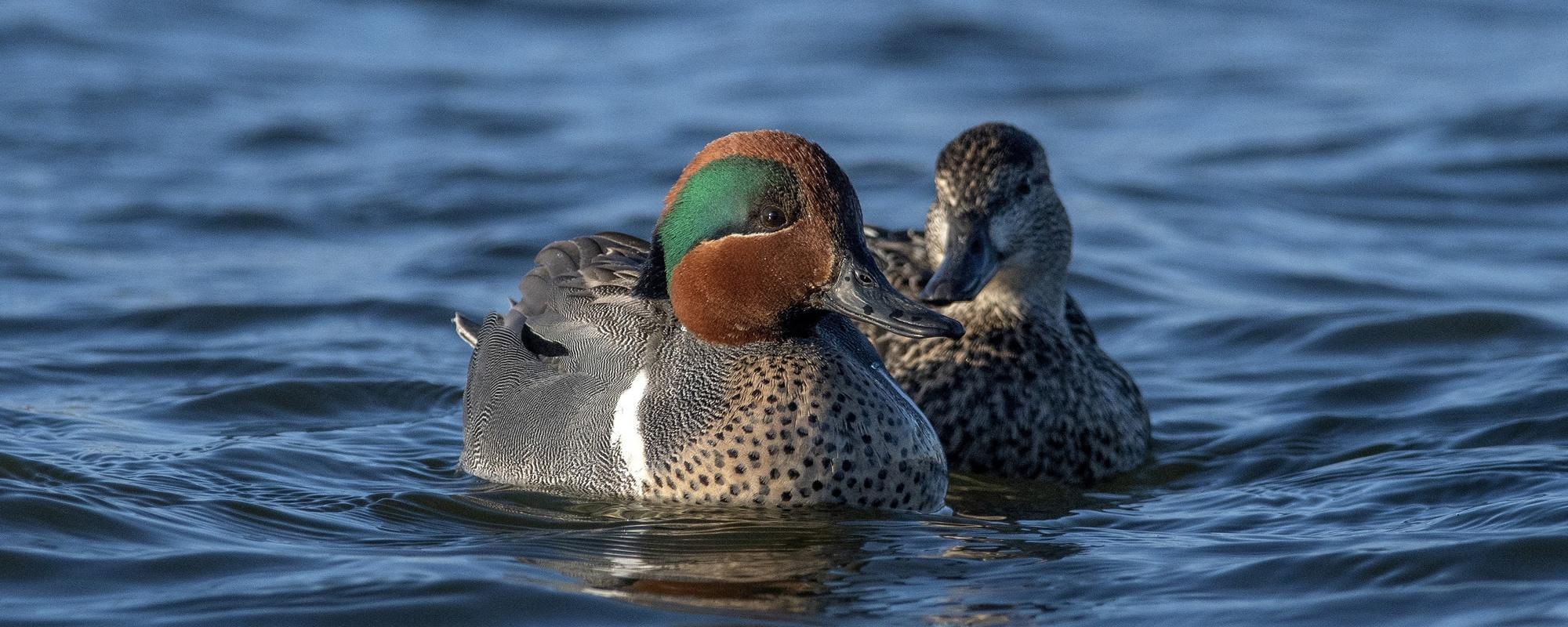
In collaboration with the Bureau of Ocean Energy and Management, U.S. Fish and Wildlife Service, and the Vision Group at the International Computer Science Institute at the University of California - Berkeley, U.S. Geological Survey scientists are developing deep learning algorithms and tools for the automatic detection, enumeration, and classification of sea ducks from digital aerial imagery. High resolution digital imagery collected during aerial surveys of the Atlantic Outer Continental Shelf will provide the data for algorithm development, as well as baseline information on wildlife distributions and abundance. Algorithms will likely operate in stages, with an initial stage developed to detect possible targets and sort images with and without targets, and subsequent stages to enumerate and classify targets. Labeled image datasets are being developed to train the algorithms. Sea ducks are manually identified and annotated from representative imagery. Annotation of targets will be commensurate with study objectives (initially species level classification) and capture the variability in appearance to maximize classification accuracy of deep learning algorithms. For this study, we are annotating to the lowest taxonomic level and incorporating information on age, gender, and activity when resolvable. Auxiliary information such as imagery metadata and georeferencing will support advanced analysis in the future. The project seeks to improve the efficiency, standardization, and accuracy of airborne waterfowl population surveys and aid in informing harvest and other regulatory decisions, environmental assessments, and impact analyses of potential wildlife exposure to offshore energy development projects in the U.S.P.2-02: Using Artificial Intelligence to Count and Identify Sea Ducks
Luke Fara, U.S. Geological Survey, Upper Midwest Environmental Sciences Center, La Crosse, Wisconsin
Jennifer Dieck, U.S. Geological Survey, Upper Midwest Environmental Sciences Center, La Crosse, Wisconsin
Timothy White, Bureau of Ocean Energy and Management, Division of Environmental Sciences, Sterling, Virginia
Mark Koneff, U.S. Fish and Wildlife Service, Division of Migratory Bird Management, Orono, Maine
Enrika Hlavacek, U.S. Geological Survey, Upper Midwest Environmental Sciences Center, La Crosse, Wisconsin
Larry Robinson, U.S. Geological Survey, Upper Midwest Environmental Sciences Center, La Crosse, Wisconsin
Travis Harrison, U.S. Geological Survey, Upper Midwest Environmental Sciences Center, La Crosse, Wisconsin
Brian Lubinski, U.S. Fish and Wildlife Service, Division of Migratory Bird Management, Bloomington, Minnesota
David Fronczak, U.S. Fish and Wildlife Service, Division of Migratory Bird Management, Bloomington, Minnesota
Stella Yu and Tsung-Wei Ke, University of California Berkeley, Berkeley, California