
Presented by Andrew D. Gilbert - Email: agilb849@illinois.edu
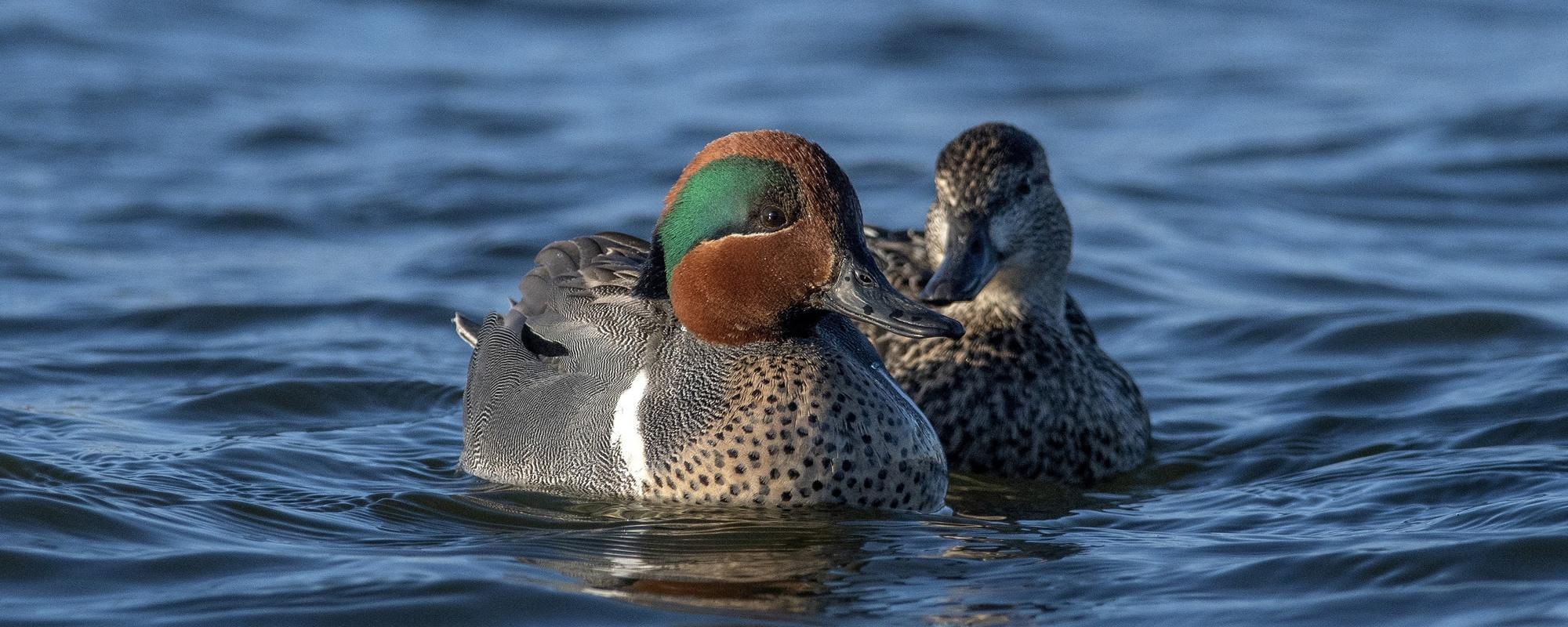
Important aspects of contemporary wildlife surveys for use in adaptive management frameworks include logistical practicality, cost efficiency, and minimal or estimable visibility bias. While logistical and financial feasibility can be readily determined before surveys, assessing visibility bias can be costly due to the number of personnel or equipment needed, impractical if timing or observer constraints prevent repeated sampling or introduce additional sources for error, and challenging to continually address if sources and magnitudes of bias change over time. Therefore, we evaluated the efficacy of using low-altitude aerial photography to estimate visibility bias and abundance of waterfowl and other waterbirds during aerial surveys as a potentially low-cost incessantly available method. We calculated error rates for each survey by comparing abundance obtained from aerial photographs to visibility-bias corrected abundances obtained during aerial surveys. Overall, we found error rates for waterbird abundance from aerial photographs to be high (100% 48%) which we attributed to a small portion (2.9%) of the survey area sampled by photographs and non-random waterbird distribution. Large variation in the number of waterfowl and other waterbirds per photograph would necessitate photographing a large portion (81% 1%) of a survey location for precise (CV 15%) abundance estimates. Consequently, low-altitude photographic-style aerial surveys would require greater time and cost than traditional aerial surveys, and were not a cost or logistically-efficient method for large scale monitoring of abundance and visibility bias of waterfowl and other waterbirds.P.2-10: Efficacy of Aerial Photography to Estimate Waterfowl Abundance
Andrew D. Gilbert, Illinois Natural History Survey, Bellrose Waterfowl Research Center and Forbes Biological Station, Prairie Research Institute at the University of Illinois, Havana, IL 62644, USA
Christopher N. Jacques, Department of Biological Sciences, Western Illinois University, Macomb, IL, 61455, USA
Joseph D. Lancaster, 1Illinois Natural History Survey, Bellrose Waterfowl Research Center and Forbes Biological Station, Prairie Research Institute at the University of Illinois, Havana, IL 62644, USA
Aaron P. Yetter, 1Illinois Natural History Survey, Bellrose Waterfowl Research Center and Forbes Biological Station, Prairie Research Institute at the University of Illinois, Havana, IL 62644, USA
Heath M. Hagy, U.S. Fish and Wildlife Service, Hatchie National Wildlife Refuge, Stanton, TN, 38069, USA