
Presented by John O'Connell - Email: john.oconnell@siu.edu
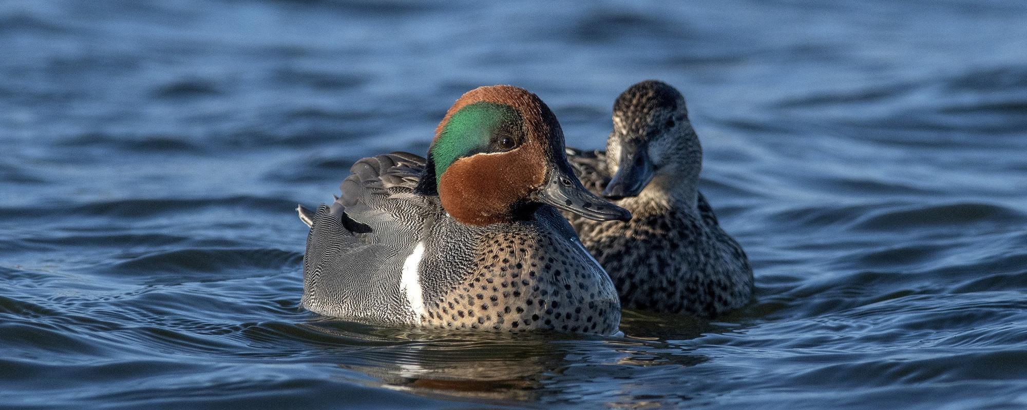
Managing wetlands to meet bioenergetic demands of waterfowl or to provide ecosystem services requires reliable estimates of temporal variation in the extent of wetland inundation, but the commonly used National Wetland Inventory (NWI) is temporally static. We are estimating wetland inundation relative to NWI spatial classifications by utilizing ground survey, remote sensing, and readily available GIS data. During mid-February through April 2015-2017, we surveyed 5,104 ha of NWI wetlands across Illinois. The extent of wetland inundation varied greatly across sites and within the survey periods, but in general, approximately half of the spring-surveyed NWI area was inundated in any given year (50.1 1.5% s.e.). Lake and river polygons were mostly inundated (85.7 1.1%, 74.1 2.9%, respectively), but inundation in palustrine wetlands that are often the focus of wetland management for waterfowl was much lower (38.3 2.1%). High inundation rates for ponds (77.9 5.8%) accounted for much of that inundation, while forested wetland (32.9 2.6%) and emergent wetland (45.8 4.1%) polygons were drier. These results underscore the potential for substantial overestimation of inundated wetlands based on the NWI alone and emphasize the need for spatiotemporally explicit estimators. We are currently using the survey data to develop and test multiple machine-learning algorithms for their efficacy in predicting inundation of NWI wetlands with the goal of mapping estimated inundation statewide at weekly time steps. We will also employ similar machine-learning methods to model inundation based on remotely sensed data, which offer increased aerial extents compared to ground surveys and allow us to infer outside of NWI wetlands. This may become an efficient alternative approach following the planned launch of satellites with free data access within the United States, and similar methods could be utilized outside of Illinois in areas with similar landscapes.H.4-2: Developing spatiotemporally explicit wetland inundation models for Illinois
John O'Connell, Cooperative Wildlife Research Laboratory, Southern Illinois University, Carbondale, IL
Michael Eichholz, Cooperative Wildlife Research Laboratory, Southern Illinois University, Carbondale, IL
Abigail Blake-Bradshaw, Tennessee Technological University, Cookeville, TN
Heath Hagy, United States Fish and Wildlife Service, Stanton, TX
Michael Eichholz, Cooperative Wildlife Research Laboratory, Southern Illinois University, Carbondale, IL
Abigail Blake-Bradshaw, Tennessee Technological University, Cookeville, TN
Heath Hagy, United States Fish and Wildlife Service, Stanton, TX