
Presented by Nick Masto - Email: nmasto@g.clemson.edu
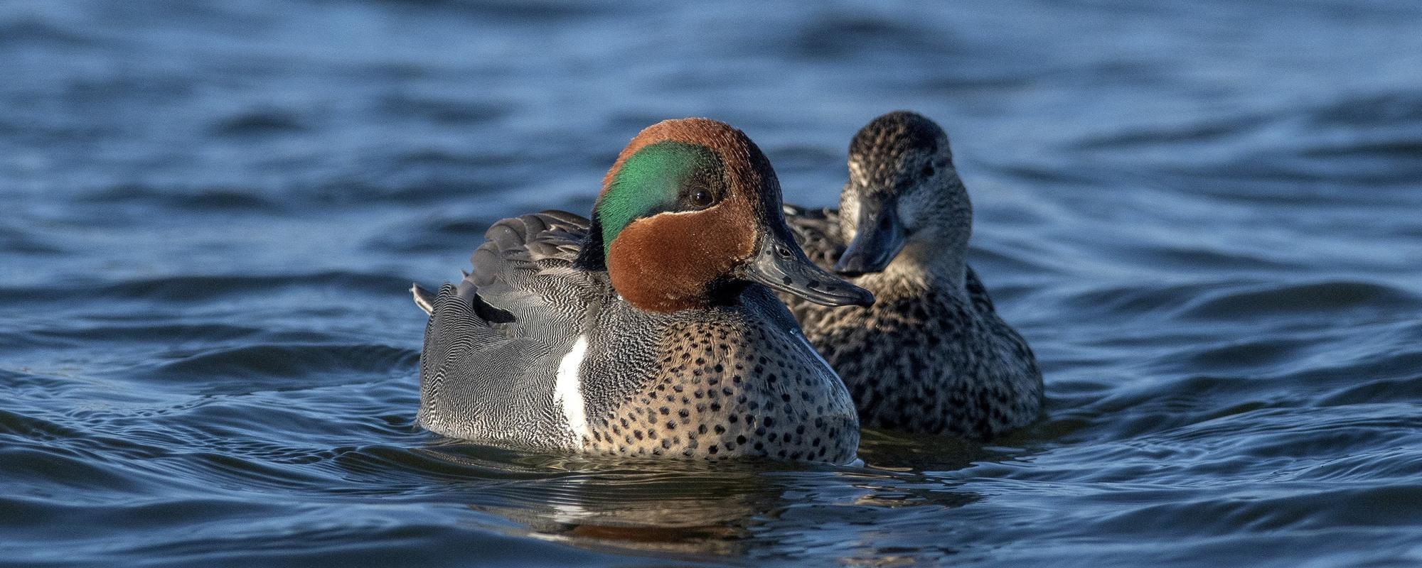
Aerial surveys are effective and cost-efficient for quantifying waterfowl and other waterbird populations and habitat use across vast and especially inaccessible landscapes. Due to to cessation of the Midwinter Waterfowl Survey in 2016 and need for reliable surveys of wintering waterfowl populations in South Carolina, we conducted fixed-wing, 250-m wide aerial strip-transect surveys during falls 2016winters 2019. We revised survey strata following 20162017 surveys reducing surveyed area by 38% while retaining 95% of waterfowl and other waterbird detections. We used design-based analyses to estimate population indices (; abundance not corrected for detection bias) of dabbling ducks, diving ducks, total ducks, and geese and swans with predetermined goals of precision (CV 1520%). Our January 20182019 estimates for total ducks (74,504 102,421) were similar to estimates reported for the 20122015 Midwinter Waterfowl Surveys; however, we did not achieve targeted precision for waterfowl during most surveys. Thus, we computed a theoretical survey effort to achieve CV = 20%. Increasing survey effort three-fold (i.e., ~66 flight hours = 7.5 days) should provide desired precision for waterfowl but likely would not be affordable. Instead, we suggest additional survey stratification, optimal allocation of transects, strategic increases in survey effort in areas of high duck densities, and simulations to evaluate proposed variance-reduction methods. Moreover, we advocate an adaptive monitoring framework to improve precision and survey efficiencies of future waterfowl surveys in South Carolina.P.2-06: Aerial transect surveys for monitoring fall-winter waterfowl abundance and distribution in South Carolina
Nicholas M Masto, Department of Forestry and Environmental Conservation, Clemson University
Rick M Kaminski, James C. Kennedy Waterfowl and Wetlands Conservation Center, Clemson University
Beth E Ross, U.S. Geological Survey, South Carolina Cooperative Fish and Wildlife Research Unit
Molly R Kneece, South Carolina Department of Natural Resources
Patrick Gerard, Department of Mathematical and Statistical Sciences, Clemson University
R Kyle Barrett, Department of Forestry and Environmental Conservation, Clemson University